While Madrid might not have a beach for lazy days in the sun, it makes up for it with mountains, forests, lakes, and hills in every direction. We’ve put together a list of popular and accessible hikes for anyone looking to make the most of the great outdoors near the city and go hiking near Madrid.
Want more ideas for outdoor adventures near Madrid? Check out our other guides on outdoor activities near Madrid, like cycling, climbing, and more. And if you’re in the mood for a quick escape, don’t miss our list of the 7 most beautiful day trips from Madrid!
1. Peñalara
100 km from Madrid
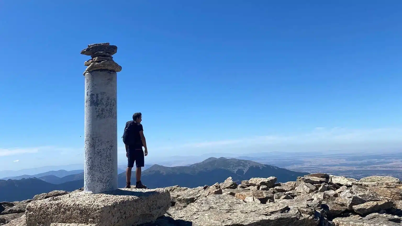
Pico de Peñalara, or the Peñalara Peak, is the highest summit in the region, so if you want to go hiking near Madrid, you can’t miss this one! The view at the top is beautiful, and if you have the lung capacity to keep going after that, the full loop will take you past glacial lakes, forests, and interesting animals like vultures, wild goats, or even Germans.
Possible Trails
Peak and Back
- Start: Puerto de los Cotos
- Difficulty: moderate
- Length: 6.5 km round trip
- Start: Puerto de los Cotos
- Difficulty: moderate-hard
- Length: 14 km round trip
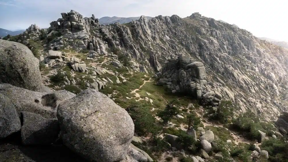
2. La Pedriza
60 km from Madrid
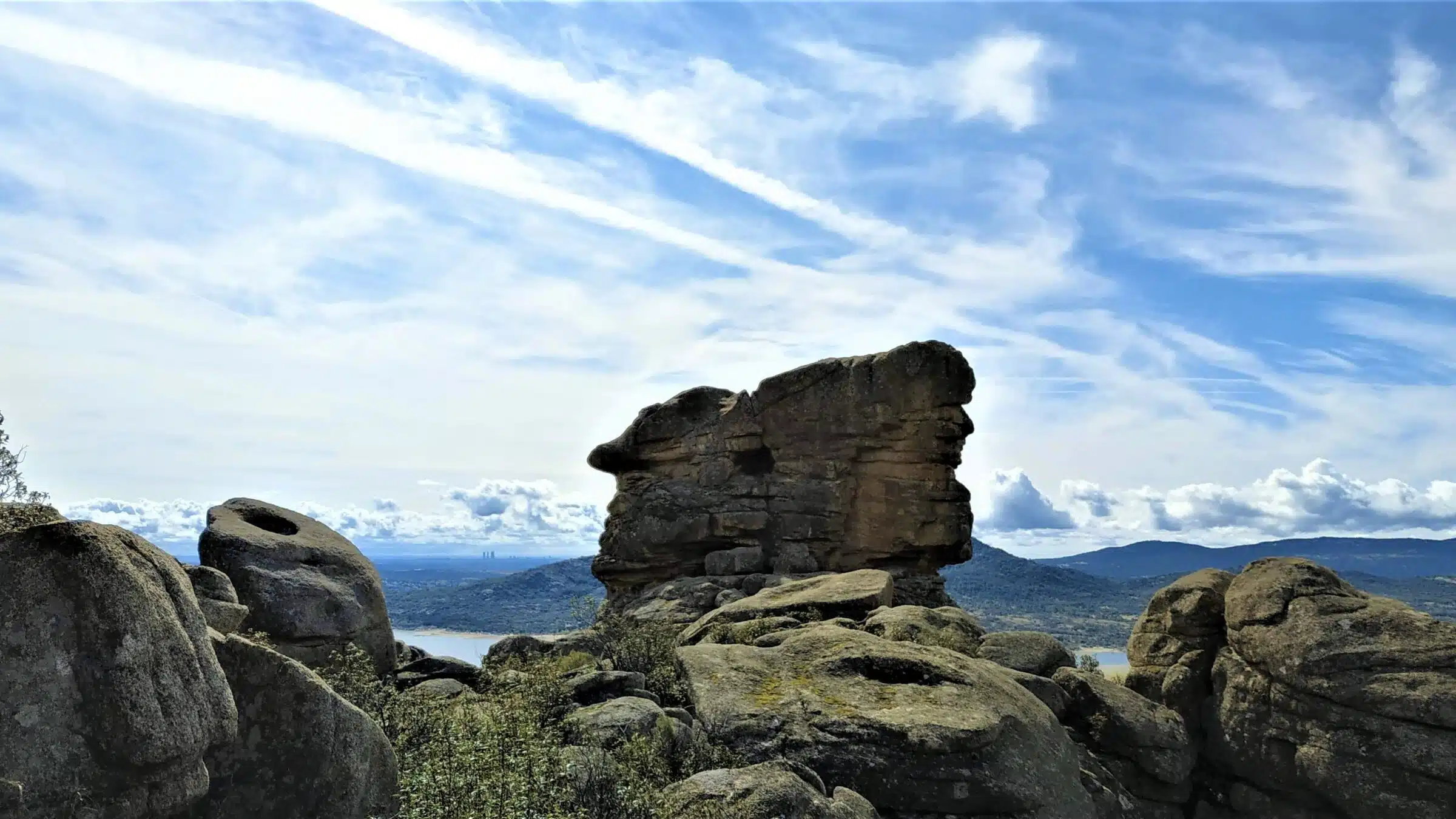
This corner of the Sierra de Guadarrama is full of massive granite formations. They’re the exposed remains of ancient magma that hardened underground and were slowly revealed through years of erosion. Or, for the casuals: big old climbing rock! It’s a climber’s paradise, with more than 3470 (official) boulders spread across the area, and beautiful landscapes to hike across. While you’re in the area, you can also visit Manzanares el Real and its beautiful castle.
Possible Trails
- Start: Canto Cochino
- Difficulty: moderate
- Length: ~12 k
- Start: Canto Cochino
- Difficulty: hard
- Length: 21 km
3. Siete Picos
60 km from Madrid
Siete Picos is a massif formed by -you guessed it- seven peaks. The highest of them reaches up to 2138 meters into the sky, where you can have a well-deserved rest after hiking through stunning forests and rugged terrain. The peaks are part of the Sierra de Guadarrama mountain range and offer a breathtaking panoramic view all along the ridge.
Possible Trails
- Start: Puerto de Navacerrada
- Difficulty: moderate
- Length: ~12 km
- Start: Puerto de Navacerrada
- Difficulty: moderate/hard
- Length: 15 km
4. Cuerda Larga Ridge
60 km from Madrid
This route takes you across a whopping nine peaks over 2,000 meters. It’s not for the faint of heart because the hike is quite long, but if you’ve got decent stamina and a good pair of boots, it’s absolutely worth it. The ridge rewards you with stunning views the whole way, and if you’re lucky, you might even spot an eagle soaring by. It’s the kind of hike that’ll leave your legs tired and your camera roll full.
Possible Trails
- Start: Puerto de Navacerrada
- Difficulty: hard
- Length: ~21 km
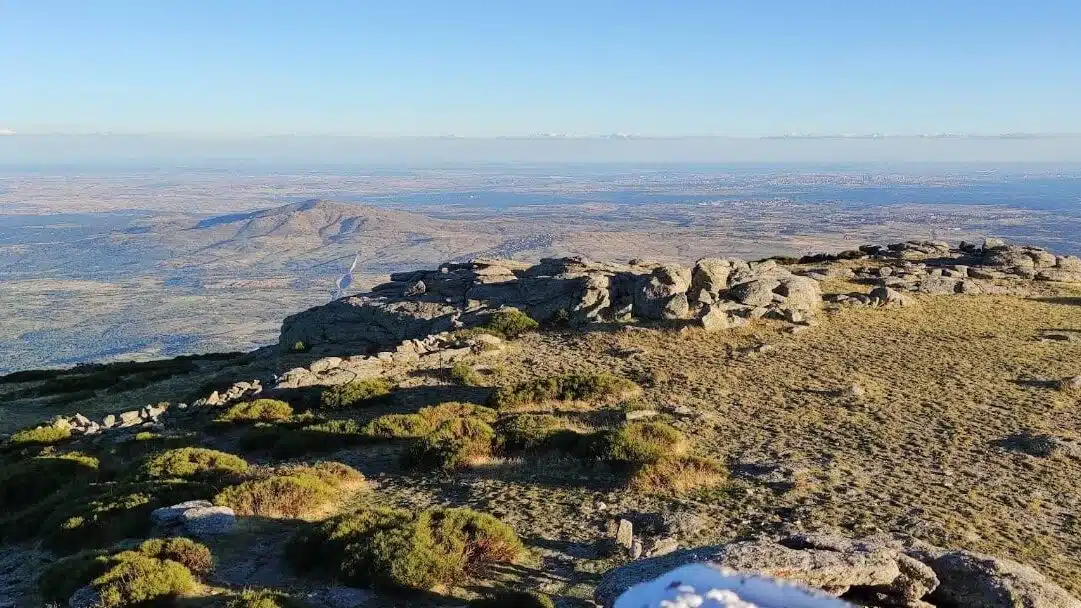
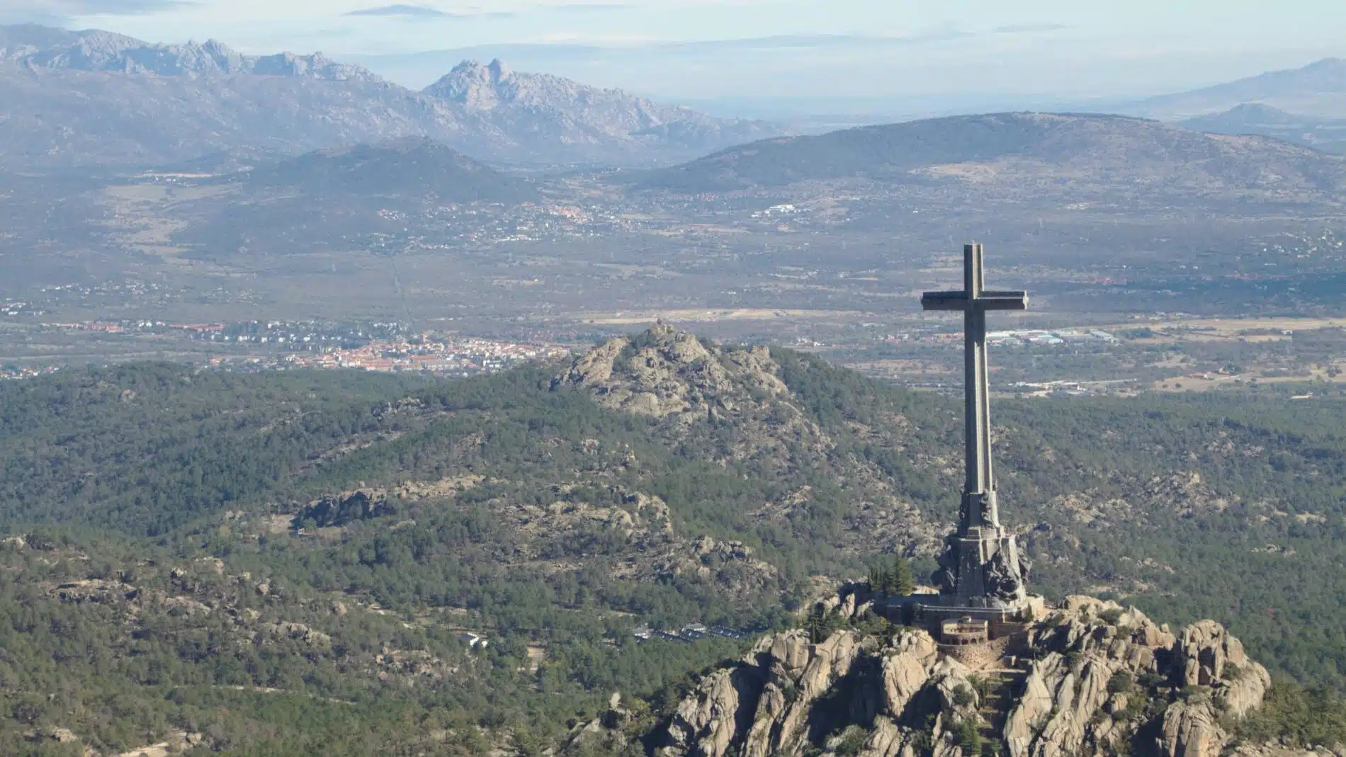
5. La Maliciosa
60 km from Madrid
La Maliciosa is one of the most iconic peaks in the Sierra de Guadarrama, a popular spot to go hiking near Madrid, standing at 2,227 meters. The hike up takes you past Bola del Mundo, another well-known summit that once broadcast TVE (Televisión Española) across a large part of Spain. The antennas, active from 1959, no longer serve television but still transmit radio signals today. While the views from Bola del Mundo are impressive, they pale in comparison to the top of La Maliciosa. On a clear day, you can spot Madrid in the distance, so don’t forget to give your friends in the city a wave!
Possible Trails
- Start: Puerto de Navacerrada
- Difficulty: Moderate
- Length: ~14 km
6. Canencia Ecological Trail
65 km from Madrid
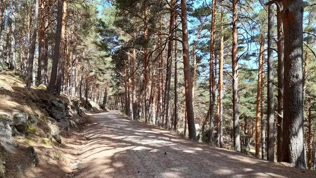
The Canencia Ecological Trail takes you through a mix of lush forests; birch, pine, poplar, you name it. Perfect for the tree huggers and bird watchers among us. There are plenty of routes to explore beyond the ones we mentioned, but if you’re in the area, we highly recommend making a stop at La Chorrera de Mojonavalle. It’s a gorgeous waterfall tucked away in the woods that’s well worth the detour
Possible Trails
Loop via Mojonavalle waterfall
- Start: Puerto de Canencia
- Difficulty: easy
- Length: 6 km
- Start: Puerto de Canencia
- Difficulty: easy
- Length: 12 km
7. Montaña de El Escorial (Monte Abantos)
50 km from Madrid
Just above the historic town of San Lorenzo de El Escorial lies Monte Abantos, a peak that rises to 1,753 meters. The trail winds through oak and pine forests, with a couple of viewpoints along both trails. Some overlook the El Escorial Monastery, like the Silla de Felipe II, where you can take a seat if you’re very tired and your name is Felipe II. In reality, King Philip II is said to have sat on those steps to watch over the construction of the monastery. It’s one of the most unique views you can see while hiking near Madrid!
Possible Trails
- Start: Puerto de Navacerrada
- Difficulty: easy
- Length: 7 km
- Start: Embalse del Romeral
- Difficulty: Moderate
- Length: 17 km
8. Lozoya
100 km from Madrid
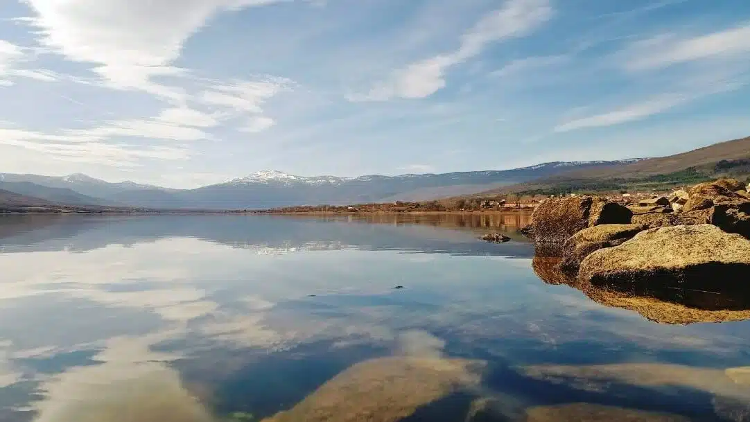
Lozoya is a peaceful mountain village surrounded by natural beauty, next to the stunning Pinilla reservoir. On warm days, you can take a walk around the lake, with plenty of shady paths and spots to cool off with a swim. If you’re up for more of a challenge, head up to Pico del Nevero, a 2209 meter high peak that offers views of the surrounding valleys and glacial lagoons. Along the way, you’ll come across several scenic viewpoints that make for perfect rest stops and photo opportunities!
Possible Trails
- Start: Lozoya
- Difficulty: easy
- Length: 16 km
- Puerto de Navafría
- Difficulty: Moderate
- Length: 13 km
More Articles About Sports & Fitness in Madrid:

Low Impact Sports Offered in Madrid

Stay in shape for less with VivaGym!

Meet & Dance: Salsa & Bachata Night!

Indoor Swimming in Madrid

How and Where to Play Football in Madrid

Playing Tennis & Padel in Madrid: Where & How

El Horno – Madrid’s Top Fitness & Recreation Center

Get in Shape in Madrid with the Citylife Sports Club
Guide to Rock Climbing in Madrid

BAM Fitboxing: Boxing, Kickboxing & Fitness Classes in Madrid
The 8 Best Outdoor Activities Near Madrid
The Perfect Place for a Run in Madrid!
20+ Public, Recreational Pools in Madrid!

Spain’s Most Popular Sports